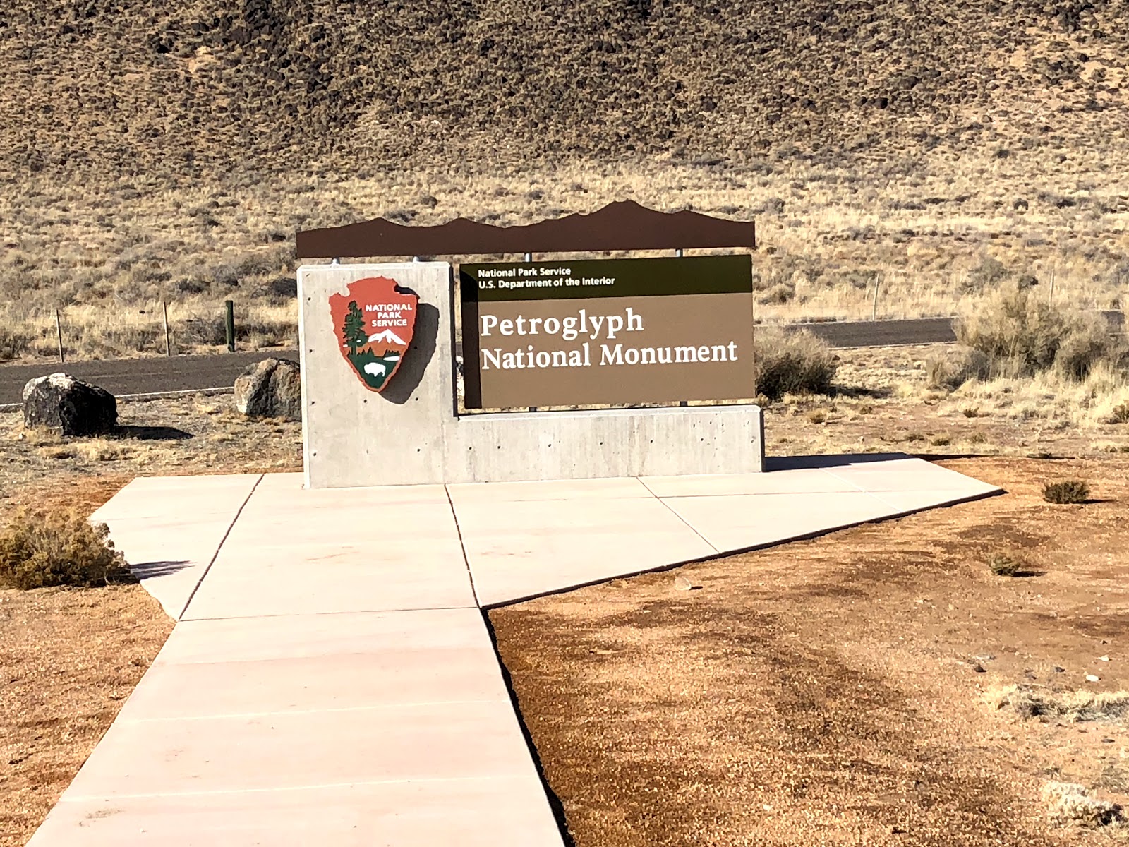
If you are looking for a hike to test your lung capacity when in Albuquerque (Alt ~5300 ft) I recommend Petroglyph National Monument. A key point when visiting this park is that none of the trails are accessible from the visitor center, so stop in and get the information you need and then hop back in the vehicle for a short trip to a trailhead. Petroglyph National Monument consists of three different trail systems that stretch a total of 17 miles along Albuquerque's West Mesa, a volcanic basalt escarpment that dominates the city's western horizon. Authorized June 27, 1990, the 7,236 acre monument is cooperatively managed by the National Park Service and the City of Albuquerque. The western boundary of the monument features a chain of dormant fissure volcanoes. Beginning in the northwest corner, Butte volcano is followed to its south by Bond, Vulcan, Black and JA volcanoes.

Why
does the City of Albuquerque Open Space Division co-manage Petroglyph National
Monument with the National Park Service? This federal-local government
arrangement is almost unique in the 417 unit National Park Service. The answers
are rooted, as they often are, in history, community, and politics.
Albuquerque's
citizens have enjoyed their wide open spaces for many years. A wonderful 1893
photograph of a man and his infant daughter shows a horse carriage in the
background at the Mesa Prieta area of the Monument. Some activities weren't so
pastoral—N.M. Volcano “Erupts” But Fools No One—a 1950 newspaper headline
declared. Nobody was fooled, apparently, because the same prank—piling tires on
the side of a volcano and setting them on fire to simulate an eruption—had been
tried in 1947 with much greater success (even causing a panic in the city). For
years students from nearby St Joseph would paint a "J" on Vulcan
Volcano, when the light is right it can still be seen.
The
Petroglyph National Monument enabling legislation recognized both the imminent
threats to the petroglyphs as well as the key role of citizens and the City of
Albuquerque. Without state and local government ownership of more than 3,500
acres—over 1/2 of the Monument—would not have happened so quickly, if at all.
Due to the role of the City's Open Space Division in acquiring land and
managing it for several decades, Congress envisioned a cooperative partnership
with the National Park Service well into the future.

The
National Park Service conducts interpretive and educational programs and
natural and cultural research, patrols all monument lands, operates the Las
Imágenes Visitor Center and constructs and maintains facilities in the Atrisco
Unit. The City of Albuquerque manages both the Boca Negra Unit and Piedras
Marcadas Units and also conducts interpretive programs and law enforcement
patrols. The City has a visitor center adjacent to the Piedras Marcadas Pueblo.
Located
in the fastest growing area of Albuquerque, the monument is surrounded on the
east and north by residential development. Expansive plans for additional
residential development to the south have been approved. Once on the very edge
of the city, residential lots adjacent to Petroglyph National Monument now
command higher prices, with views being protected in perpetuity. Monument
neighbors appreciate having a National Park in their own backyard. The City
enforces design guidelines for properties adjacent to the volcanic escarpment.

Petroglyph National Monument protects a variety of
cultural and natural resources including five volcanic cones,
hundreds of archeological sites and an estimated 24,000 images carved by
Ancestral Pueblo peoples and early Spanish settlers. Many of the
images are recognizable as animals, people, brands and
crosses; others are more complex. Their meaning was, possibly, understood only
by the carver. These images are the cultural heritage of a people who
have long since moved into other areas and moved on through history for many
reasons. The monument is intended as a protection for these lands and sites
from and for visitors to see and appreciate for generations to come. The National
Monument is managed in a manner that allows recreational use. The
monument has four major sites that visitors can access, Boca Negra Canyon,
Rinconada Canyon, Piedras Marcadas Canyon, and the Volcano Day Use trails.
Many of the petroglyph images contained within the
monument hold a deep, cultural significance to many native peoples. Depending
on their context, the interpretations of these stone relics can hold vastly
complex and varying meaning. Sometimes, it is not always appropriate to
interpret the significance or meaning of these images. Some archaeologists can
date the carvings as far back as 3000 years ago, found primarily in the Boca
Negra Canyon area. The relative age is determined based on the darkness of the
image, its context, and its comparison to other works of native relics of the
same age.

It is estimated that about 90 percent of the petroglyphs
were created during the period between AD 1300 until the end of the 1600s
because of the "Southwestern Style" used. At this time, the Native
population was increasing quickly and pueblo adobe villages were being built
along the Rio Grande River and at the base of the Sandia
Mountains.
OK,
enough for the history lesson! Let’s get
to the hiking. The three trails are:
Boca Negra Canyon is located
off Unser Blvd. NW, approximately one-quarter mile north of Montano Road. This
path is operated and staffed by the City of Albuquerque Open
Space Division, this trail system offers the opportunity to view about 100 petroglyphs
along three paved trails that are guided by signs. Restroom facilities, a
drinking fountain, picnic tables and shaded seating areas are available. The
City of Albuquerque charges a nominal parking fee of $1 Monday-Friday or $2 on
Saturday & Sunday. Parking fees are per vehicle.
The path is open daily 8:30 AM to 4:30 PM, last entry at 4:00
PM daily is strictly enforced
Rinconada Canyon is located
off Unser Blvd. NW at the St. Joseph Ave. intersection, approximately 2 miles
north of I-40. This is the
longest petroglyph viewing trail system in the monument, this
moderate undeveloped trail is 2.2 miles round-trip. Water is not available.
Vault restroom facility is available at the trail head. See approximately 300
petroglyphs in 1.5-2 hours. Leashed pets allowed. Parking lot is open 8:00 am
to 5:00 pm daily. A free trail guide is available at the visitor center. I
would be remiss if I didn’t point out that this trails parking lot has had
numerous vehicle break ins so lock your rig and set your alarm!

The
favorite for Lori and I is Piedras Marcadas Canyon, located off Golf Course Road at Jill Patricia Street.
The parking lot is behind the Valvoline Motor Oil Change station. This path in the north-eastern tip of the
monument, this moderate undeveloped trail
system is 1.5 miles round-trip. Water is
not available. No restroom facilities. No shade. See approximately 300-500
petroglyphs in 1.5 hours. The trail is Open daily from sunrise to sunset and
leashed pets are allowed. A free trail guide is available at the visitor
center.
There is also the Volcanoes Day
Use Area. Located on the western edge of the monument, this trail
system offers scenic miles of hiking around the volcanic cinder cones.
Although the area is void of petroglyphs, you'll enjoy the clear views of the
Rio Grande valley and the Sandia Mountains from the scenic overlook. Trails
vary in length from 1 mile to 4 miles round-trip. Water is not available. A
vault restroom facility is available. Leashed pets are allowed. The parking lot
is located off Atrisco Vista Blvd. NW, approximately 4.8 miles north of Interstate
40. The parking lot is open from 9:00 am to 5:00 pm daily. The day use area is located off Atrisco Vista
Blvd., approximately 4.8 miles north of I-40.
No comments:
Post a Comment